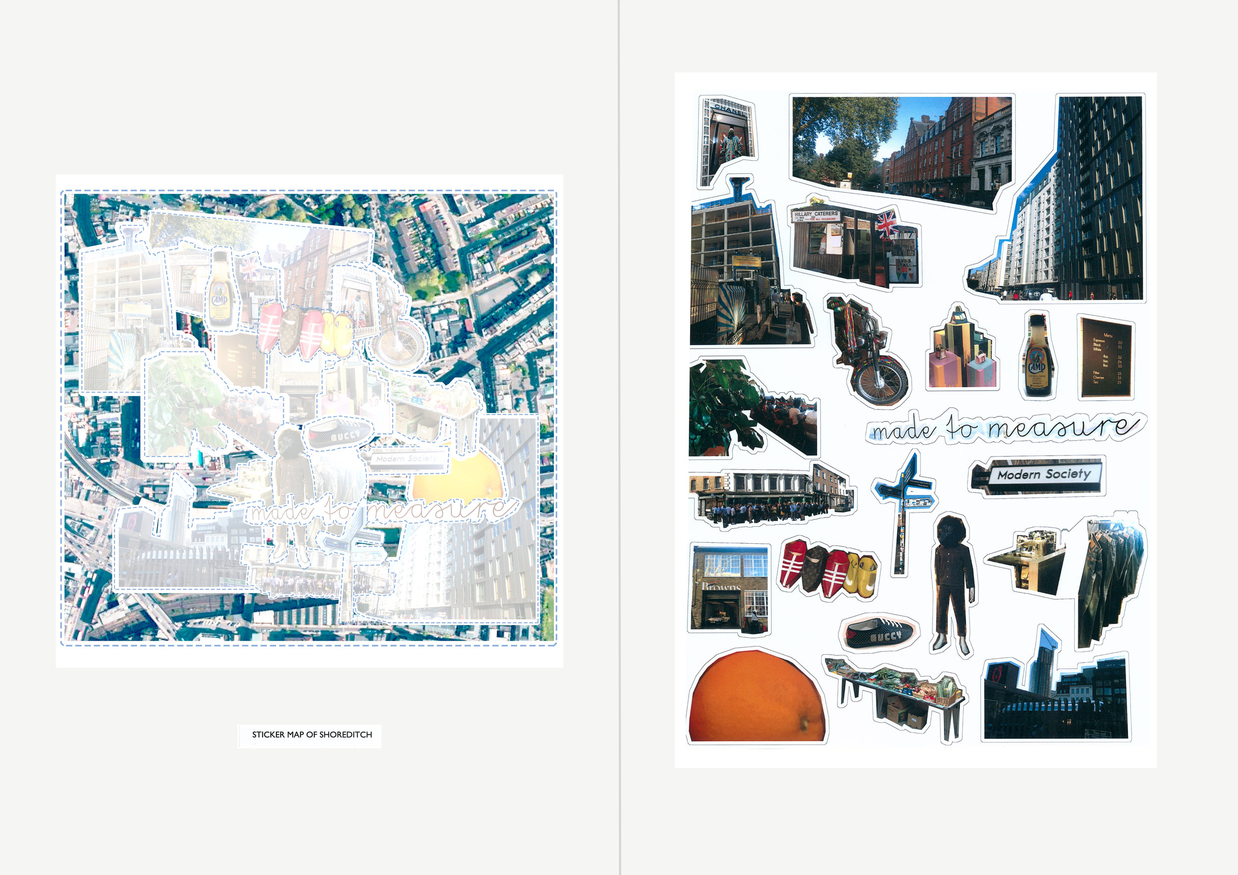
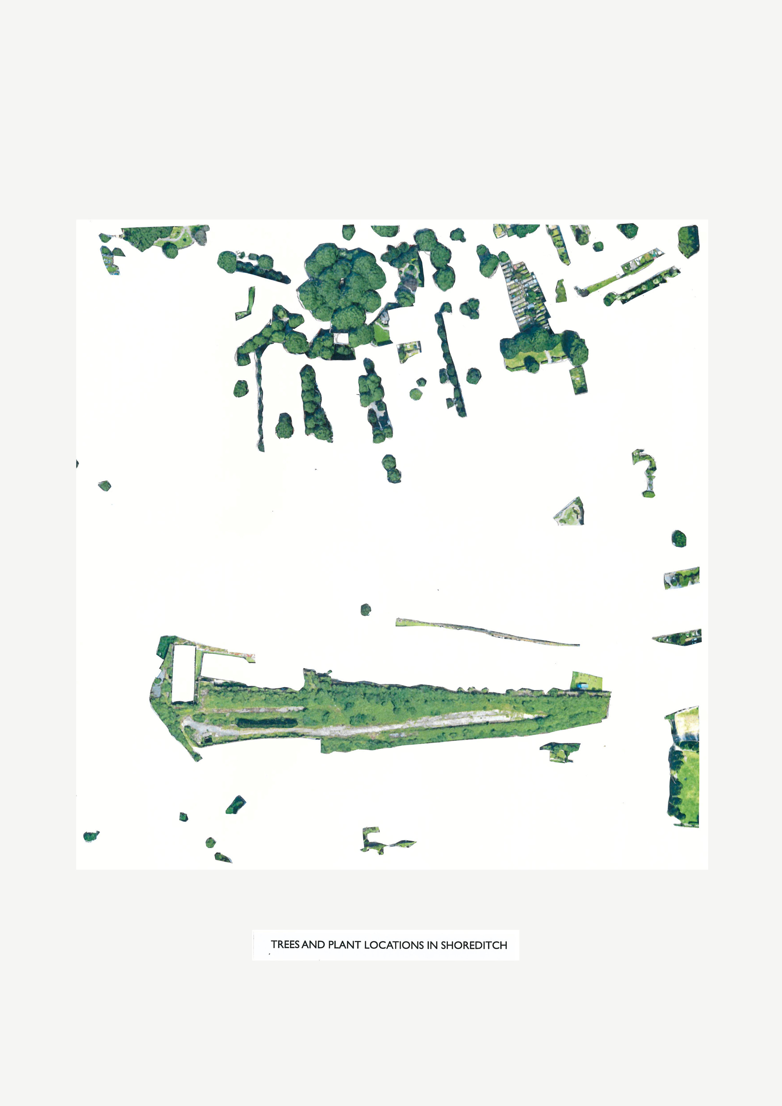
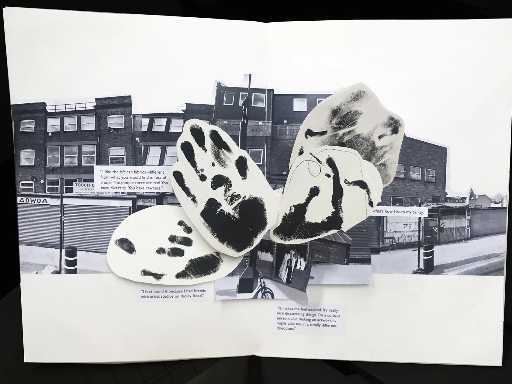
The Fashion Atlas of Shoreditch is a work-in-progress compilation of maps, tracing the natural features, visual terrain and fashion practices of a 2 km square area centred on Shoreditch in London. This atlas tests methods for visualising the fashion landscape of an area to include elements which are either unlikely or difficult to map (because they are ephemeral or relational in nature). In the future the atlas will include more pages about everyday social fashion practices and place as well as local people’s own mental maps of the area.